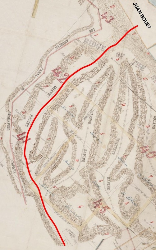
 The term 'Chavez Ravine' means different things to different people. To a historian, it refers to the westernmost ravine on the massíf known, in recent times, as the Stone Quarry Hills, which today includes Elysian Park, the Solano Canyon community, and, of course, Dodger Stadium.
To many Angelinos, it means Dodger Stadium on game days: the Boys in Blue, Dodger Dogs, bobbleheads of well-known players, National League Pennants and World Series Titles, and, of course, baseball (but no tailgating). Yet to still others, a dwindling few who call themselves los Desterrados — the exiles — it means having once lived in one of the three communities of la Loma, Palo Verde, or Bishop, known collectively as Chávez Ravine, and it means having been evicted from one's home and, more likely than not, having watched it be destroyed by bulldozers, with armed policemen and newsmen standing idly by, watching and filming the chaos, mostly disinterestedly. Chavez Ravine — the ravine, not any of the rest of it — was a steep canyon that, the geologists will tell you, was one of many ancient channels of the Los Angeles river that was uplifted through tectonic forces millenia ago. By the mid-19th-Century, there was a steep, dusty trail that rose all the way to the summit of the massíf, then passed through a narrow defile and descended to the flat land by the river, an area now known as Frogtown, and where Riverside Drive is today. The land that the trail emptied onto was owned in 1856 by Juan Bouett, the author's 2X-great-grandfather (see the map, above). Mariano and Julián Cháves, brothers from New Mexico Territory, also owned land on the flats adjoining that of Juan Bouett, and on the East side of the river. Julián's land on the west side of the river, 81.75 acres, was deeded to him in 1847 by Esteban Quintero. It is said, and repeated endlessly without proof, that he also owned 83 acres in the ravine near downtown, although I have never seen proof of that claim. I suspect that the 83 acres actually refers to his 81.75 acres by the river. In any case, it is likely that Chavez Ravine takes its name from one, or both, of the Cháves brothers. [Map source: a portion of SR_Map_0377, annotated by the author, The Huntington Library.] |
About the AuthorLawrence Bouett is a retired research scientist and registered professional engineer who now conducts historical and genealogical research full-time. A ninth-generation Californian, his primary historical research interests are Los Angeles in general and the Stone Quarry Hills in particular. His ancestors arrived in California with Portolá in 1769 and came to Los Angeles from Mission San Gabriel with the pobladores on September 4, 1781. 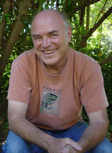
Lawrence Bouett may be contacted directly here.
Archives
July 2018
Categories |
 RSS Feed
